We went to Ryukyu Mura, the Chatan/Mihama area and Okinawa City.
The prefectural capital Naha and the airport is located in the southern part of the main island of Okinawa and this time, all of the attractions were up north. Ryukyu Mura is shown by the yellow marker on the map. The blue marker shows Okinawa City, the green marker shows the Chatan/Mihama area and the purple marker shows Naha.
When we were traveling north, it seemed that all the prime flat land and coastal areas were all fenced off for the use of the U.S. military and I thought it would be interesting to map out how much of the land on the island of Okinawa was off-limits to the people. All of the red markers show American military bases.
Looking at the unmarked grey areas on Google Maps, I approximately identified land used by the U.S. military by outlining the areas in red. The results look like some disease has infected the island of Okinawa!
View Okinawa Island in a larger map
In Okinawa, unlike on mainland Japan, public transportation isn't really good, but we did not rent a car thinking that the bus would be suitable. Bad idea.
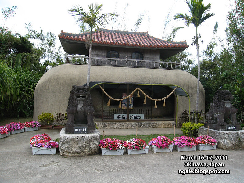
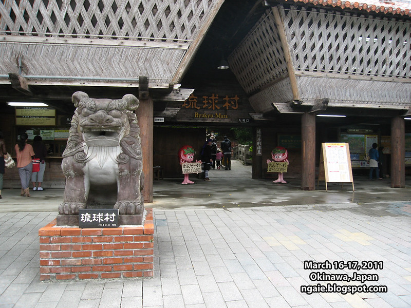
From the bus terminal in Naha, it took almost 1.5 hours to reach Ryukyu Mura (translation: Ryukyu Village) which is an open air theme park where you can experience traditional Okinawan culture. (Open air theme parks based on "traditional culture" seem to be popular in Japan. I went to another one years ago called Meiji Mura which focused on a reproduction of Meiji-era, 19th century Japan, after the fall of the feudal government.)
I was surprised to see how empty the place was. There were only a handful of other tourists there. I guess March is the low season for tourism in Okinawa because I didn't see many tourists in other touristy areas as well.
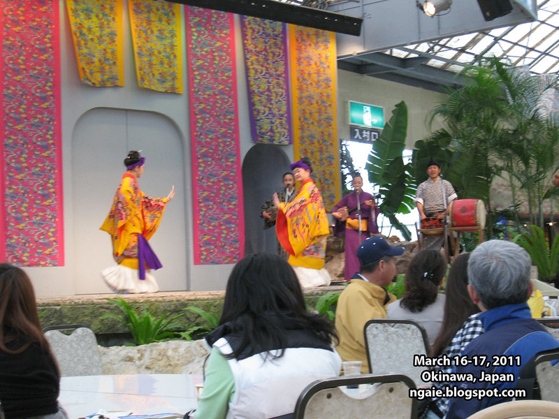
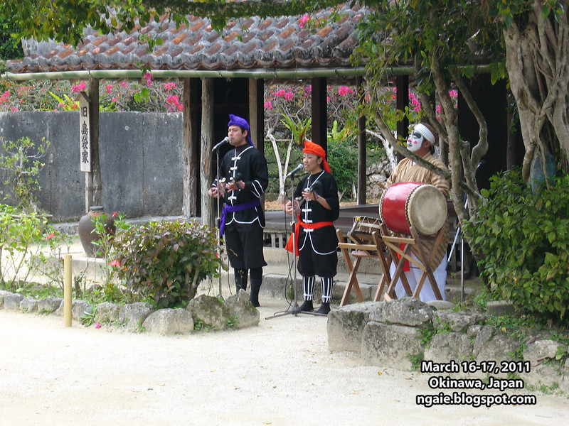
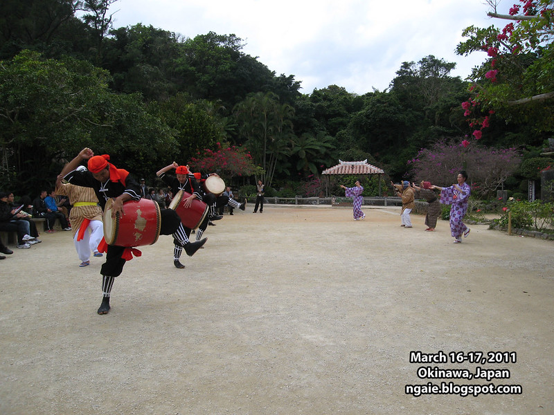
Upon arrival, it was already lunch time and while we were eating, there was a performance of traditional Okinawan music on the stage. A lot of the traditional dress looks Chinese-influenced.
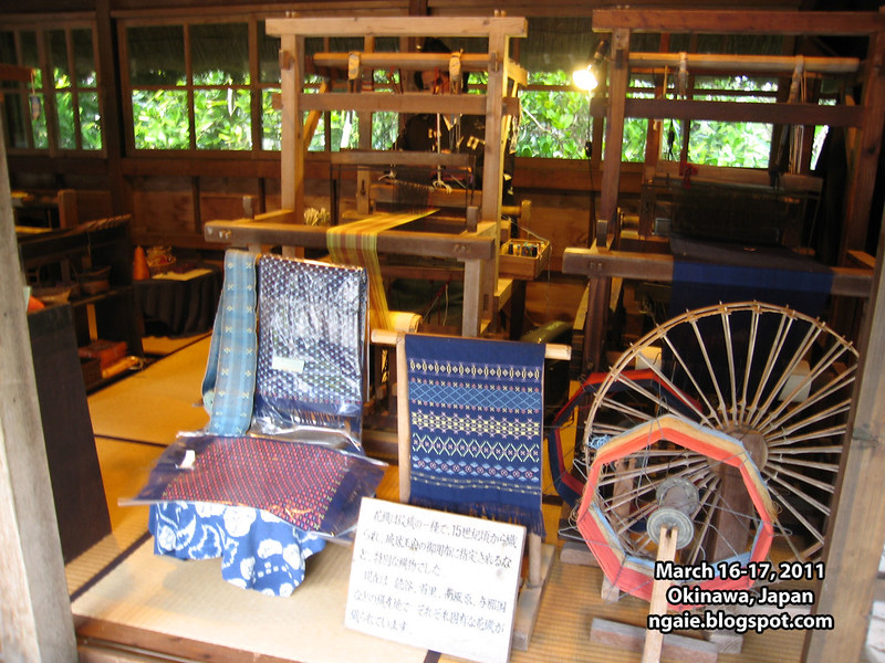
Working loom used to make stuff for sale at the gift shop?
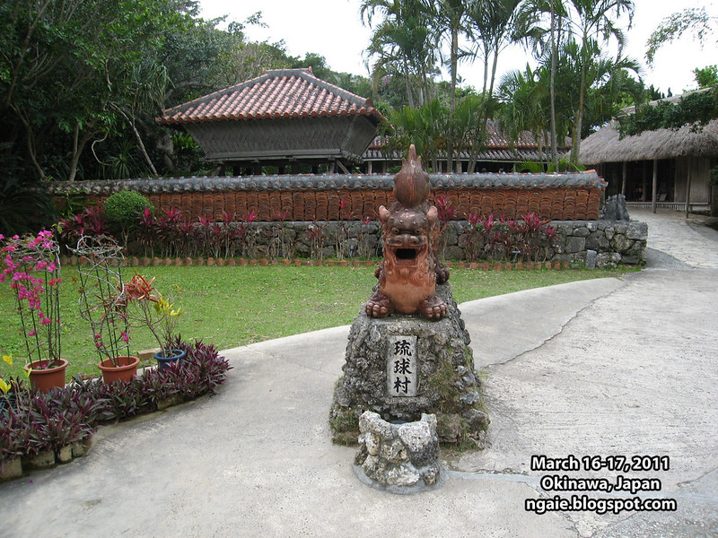
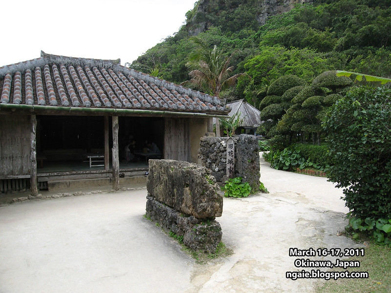
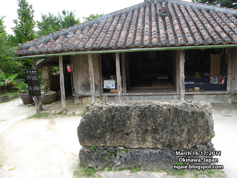
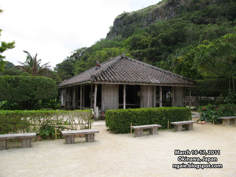
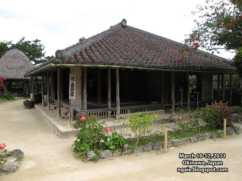
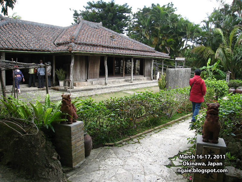
One of the main attractions of Ryukyu Mura is the collection of traditional Okinawan homes that have been moved and preserved in this open air theme park.
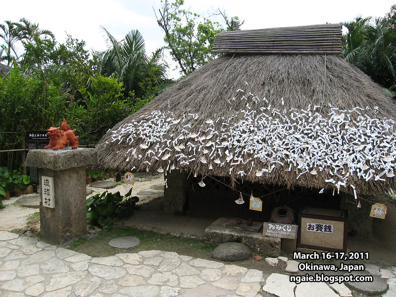
Unlike the concrete monstrosities that dot the island of Okinawa now. Most people used to live in houses like these.
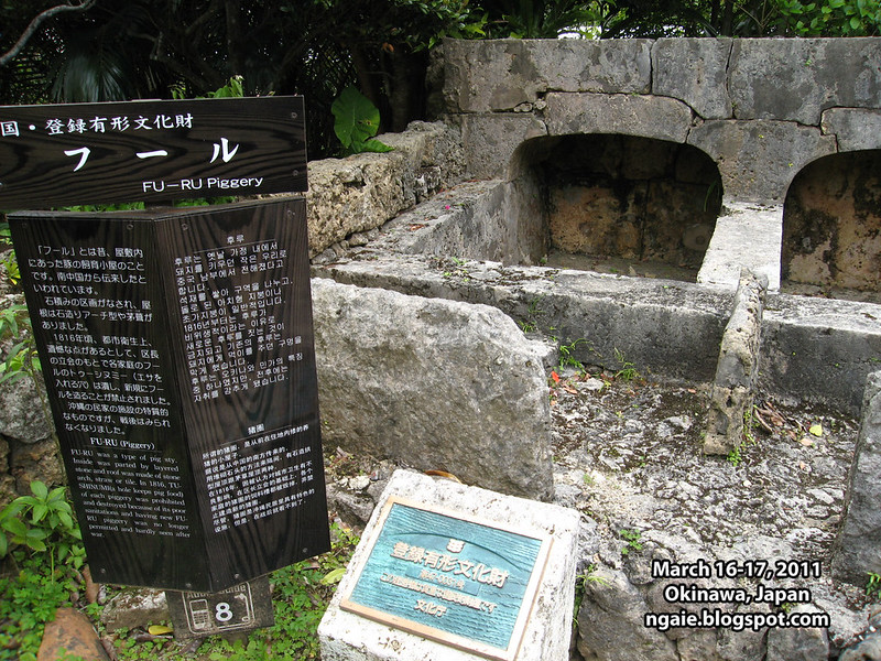
A traditional pigpen. Unlike on mainland Japan, pork has been a traditional part of the diet of Okinawa. I think it probably comes from the influence of China during its long history as a semi-independent Chinese tributary state prior to its annexation by Japan.
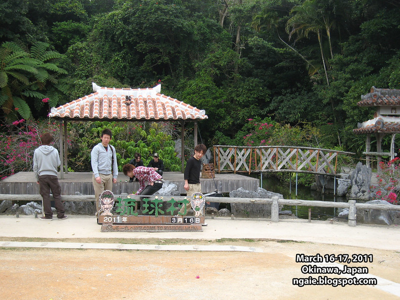
The event square of the theme park with the obligatory photo-op sign.
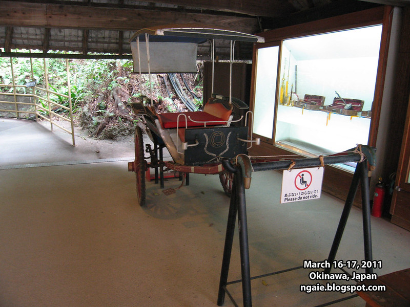
Traditional modes of transportation, the rickshaw.
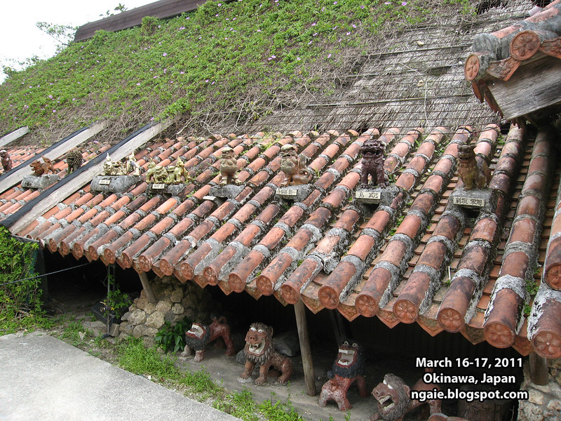
Different types of shisa.
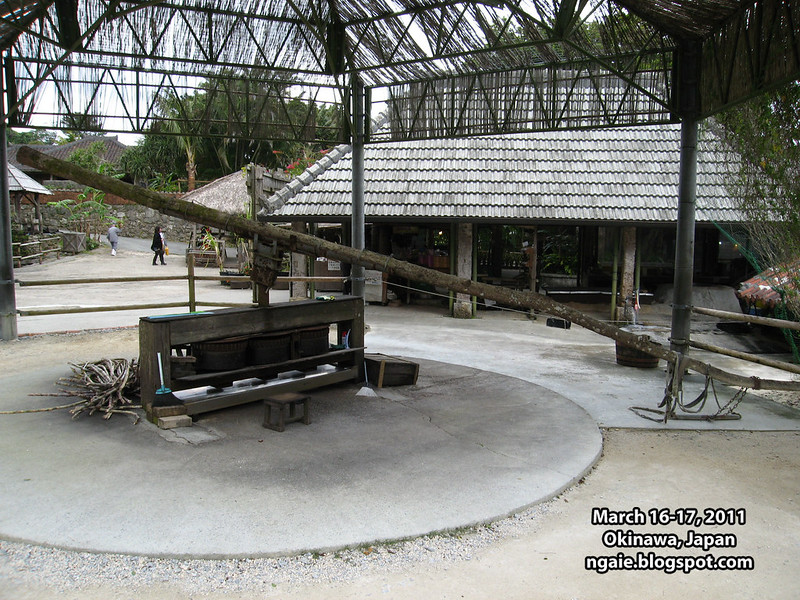
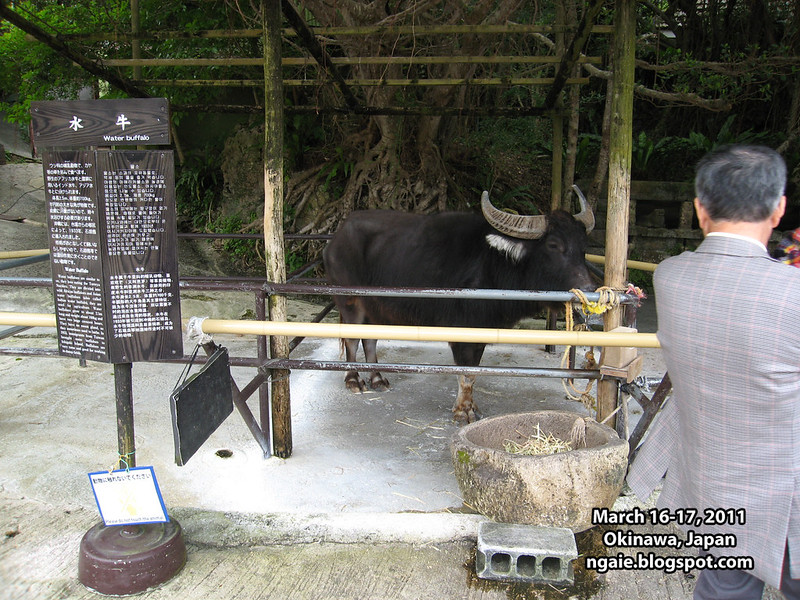
A contraption for milling cane sugar.
The water buffalo used to power the cane sugar milling device.
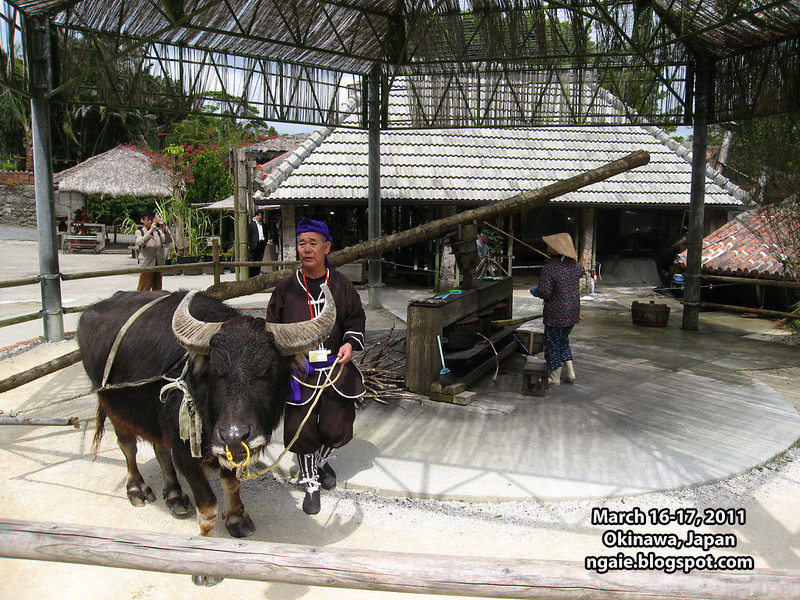
The cane sugar milling device in action.
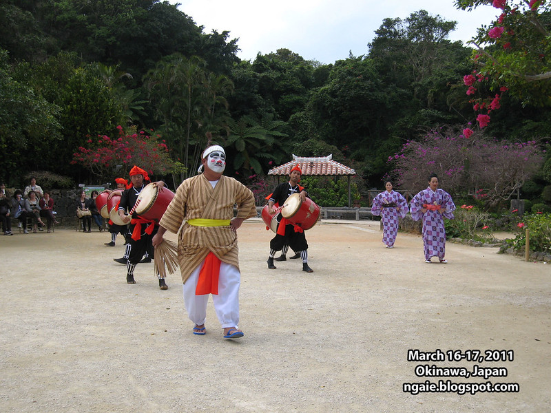
A performance of traditional dance in the main square.
After a couple of hours in the theme park, it was time to leave and because the public bus didn't come so frequently, we had to wait for about 40 minutes for the next bus to come. Almost all other tourists arrived and left via their rental cars.
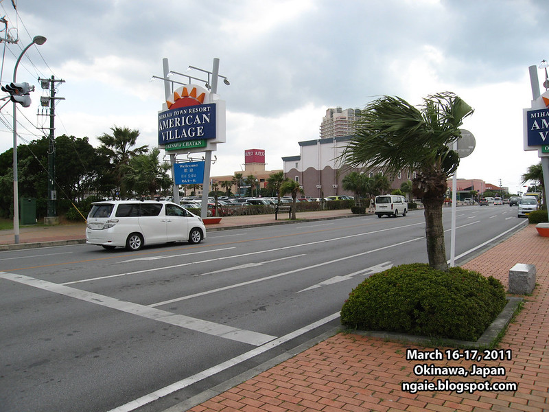
Our next destination was the Mihama/Chatan area where the local tourist guides said that there was a beach and an "American Village" shopping centre.
Although I am not personally interested in beaches, since Okinawa's tourism appeal is related to beaches, I wanted to see at least one beach while I was there. It seems that unlike Hawaii, in Okinawa, if you wanted to go to a beach, you had to make a special effort to go to a beach, either in some far away location, or located at some expensive resort hotel (also in far away). From my observations, it seems that none of the beaches in Okinawa are located "on the way".
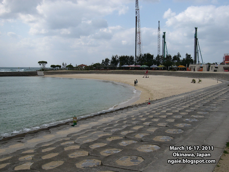
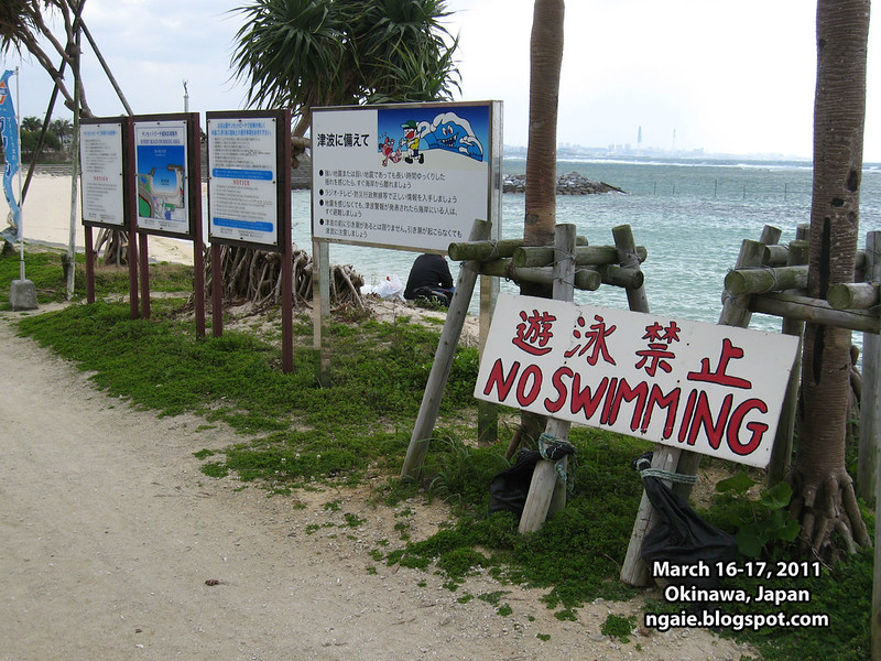
The Sunset Beach, an artificial man-made beach next to the Mihama American Village shopping centre in the Chatan area. The relatively cold weather meant that there was almost no one there. Although it is a man-made beach, was there a need to install so much concrete?!
In the background, you can see a concrete breakwater and some industrial installations in the background...
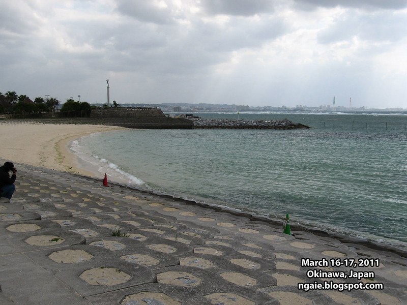
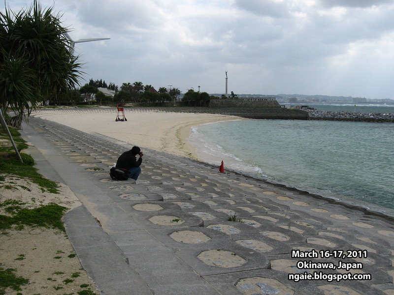
Swimming is not allowed at this beach either. What are people supposed to do when it gets hot here, lie down on the hard concrete?
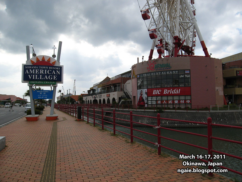
The Mihama American Village, a collection of strip malls. Not so interesting in my opinion. Maybe its interesting, if you never seen American style suburban shopping centres?
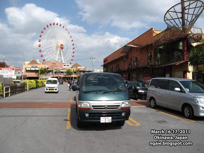
What thing that I noticed is that Japan (and Asia in general) loves giant ferris wheels, especially building them into shopping centres. Nevermind that probably once the novelty wears out, no one is ever going to be using them again.
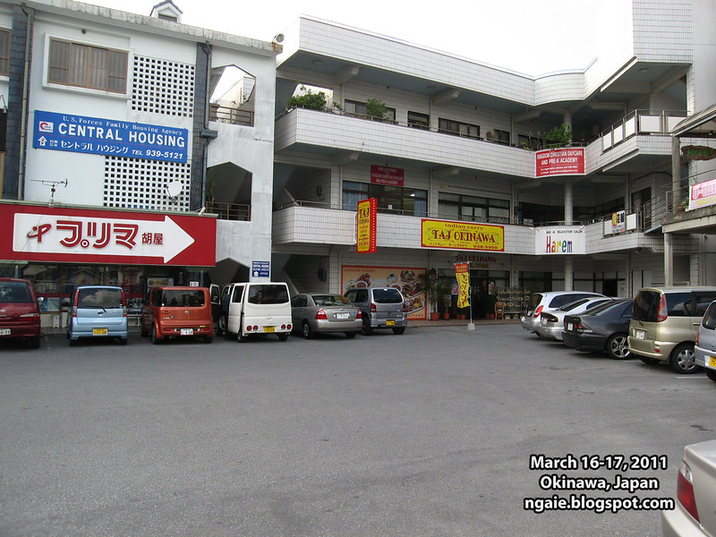
The next stop was Okinawa City in the middle of the island. Okinawa is infamous in Japan as the home of 90% of the U.S. military bases in Japan and I wanted to see what the surrounding area around a U.S. military base looked like. Apparently no tourists ever go to Okinawa City, and I would soon figure out why.
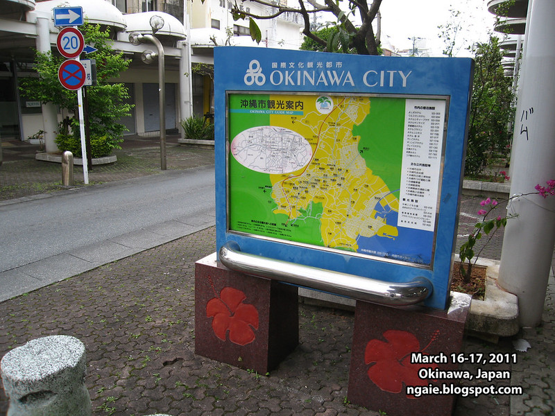
Okinawa City is located right next to the main gate of the Kadena Air Force base and it seems that all of the shops and services serve the "needs" of the U.S. military.
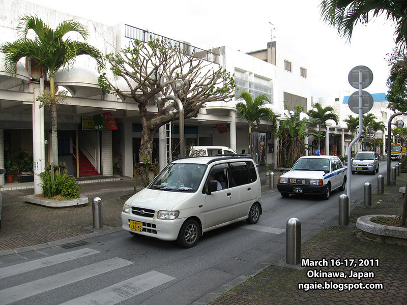
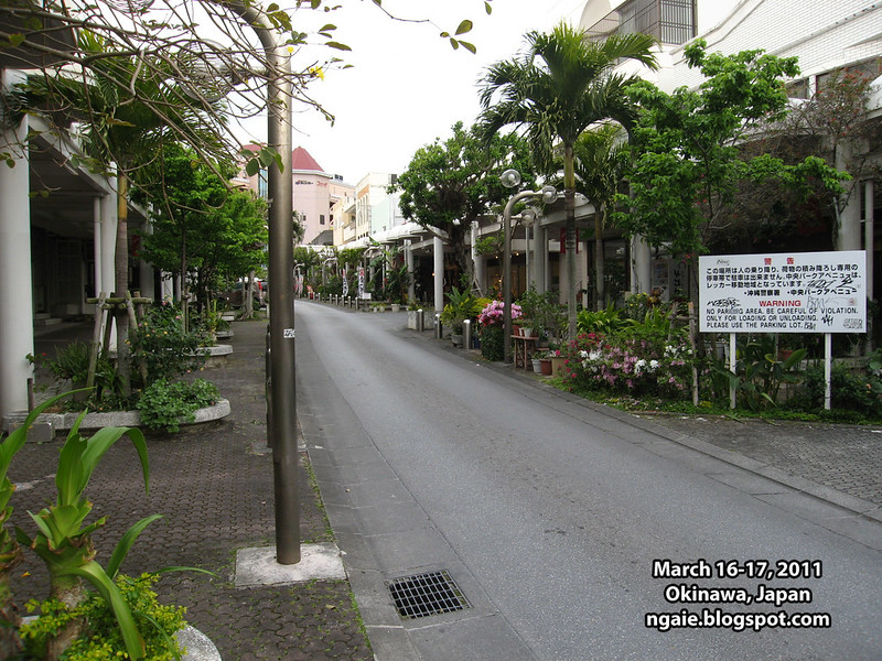
I was surprised at how run-down the area looked like. The setting looked like it was imported straight from some depressed area in America. The area was almost completely deserted by locals except for the old people who lived nearby.
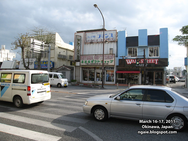
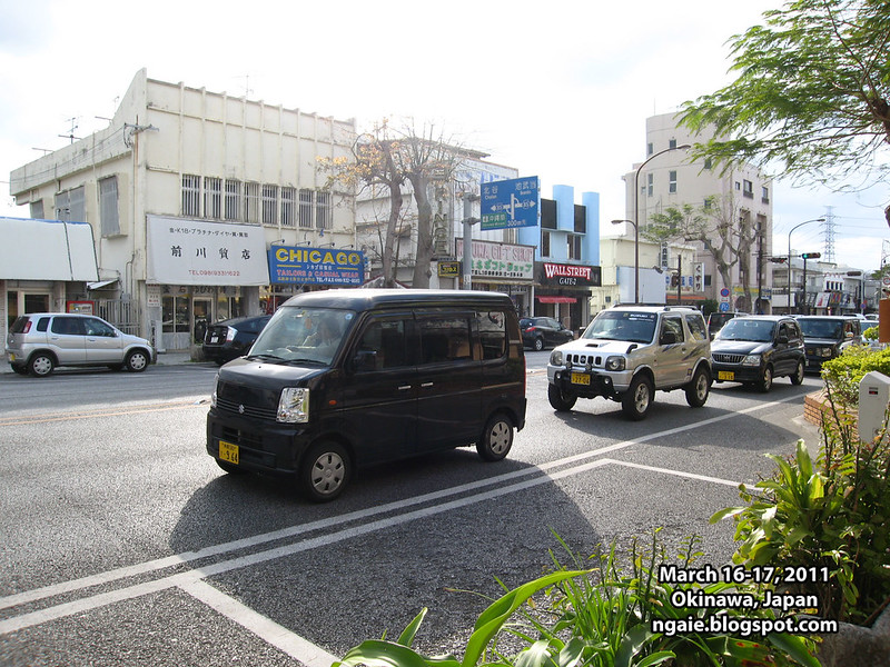
This is in the middle of the day and it was completely empty. I imagine things get rough and rowdy during the nighttime?
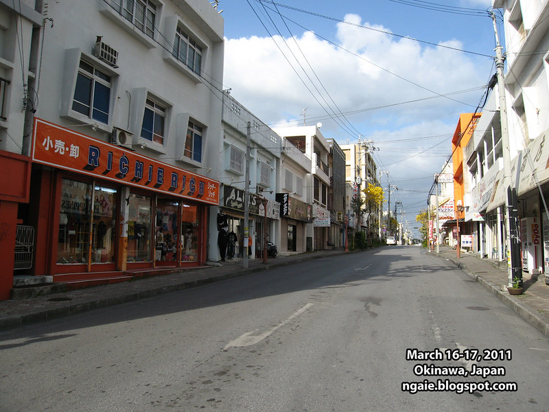
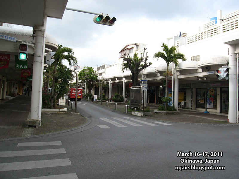
The main arcade of Okinawa City. It seems that the area has been frozen in time, from 50 years ago?
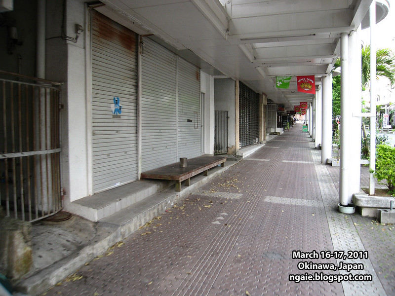
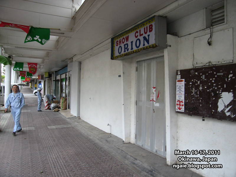
Shuttered shops.
Shady looking nightclub.
Shady looking bar.
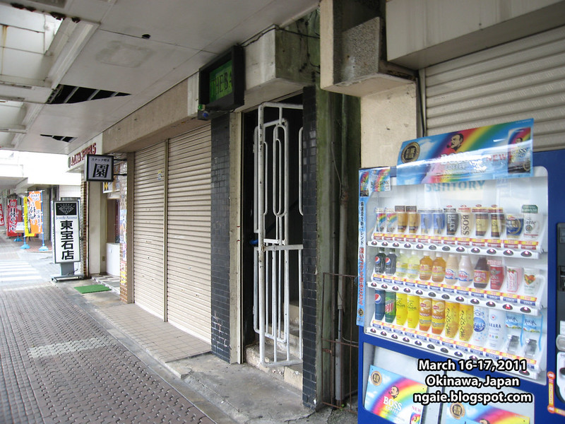
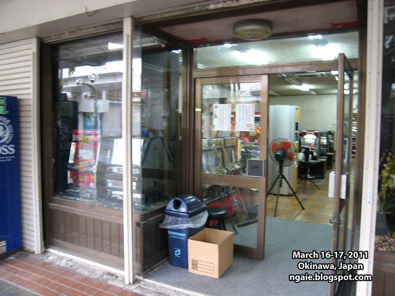
Some sort of gambling establishment?
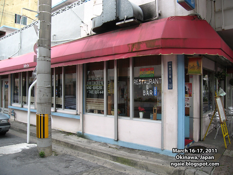
Of all the places you would expect to find a Jamaican restaurant, you find one here.
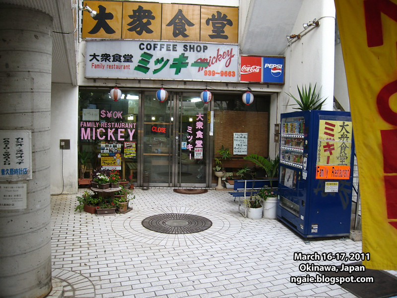
"Mickey's Family Restaurant"
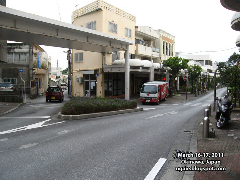
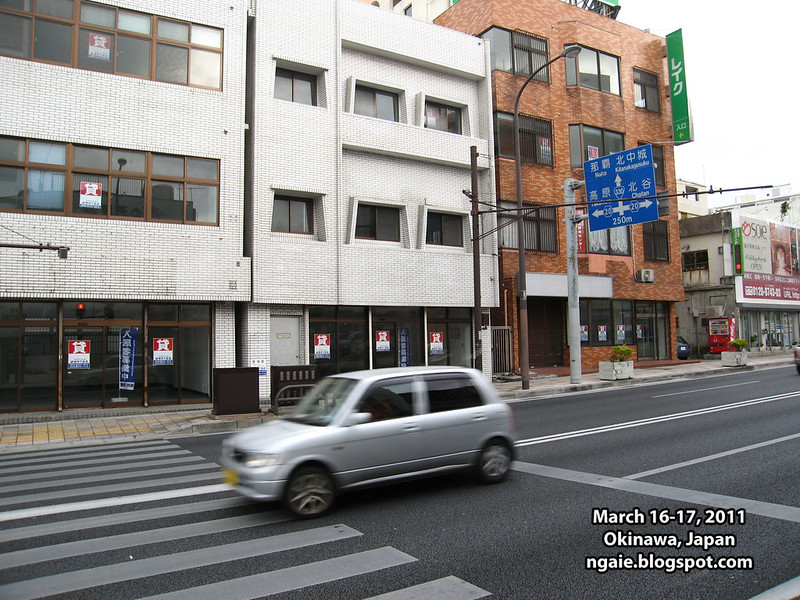
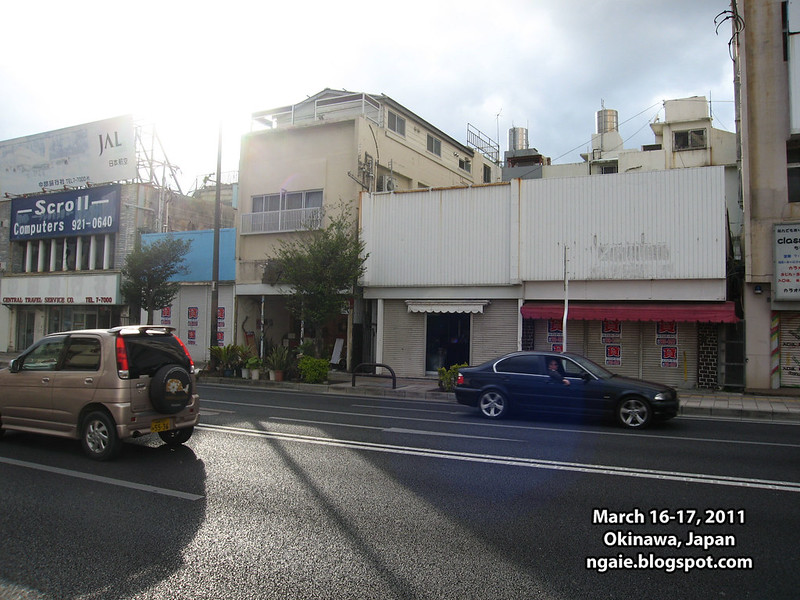
On the main arterial road of Okinawa City. Nothing but shop vacancies.
It was starting to feel creepy walking around a semi-ghost town. So we took the bus back to Naha.
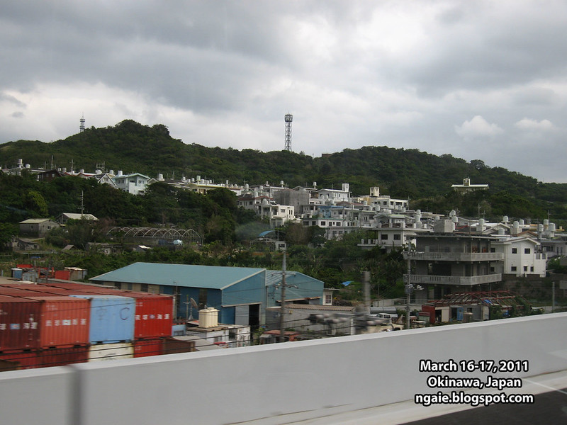
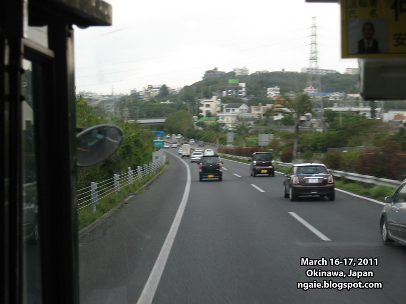
Views from the Okinawa expressway back to Naha.
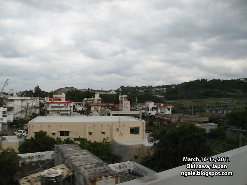
You can't help but notice how mountainous the island of Okinawa is, yet all of the prime flat land is used by the U.S. military which forces the local people to live in the hilly and mountainous areas.
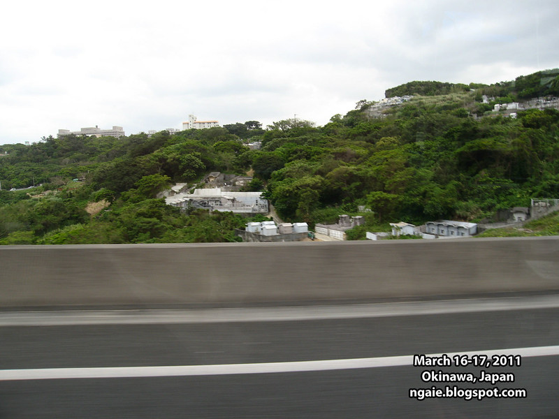
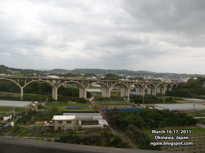
One of the nicer looking pieces of infrastructure in Okinawa.
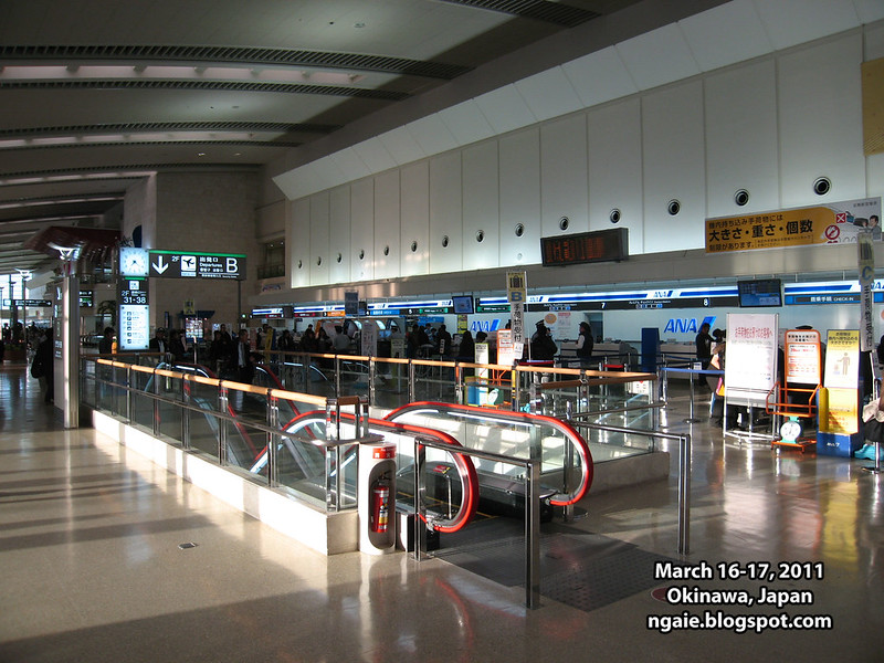
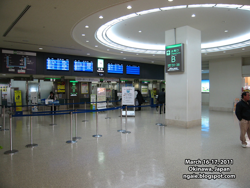
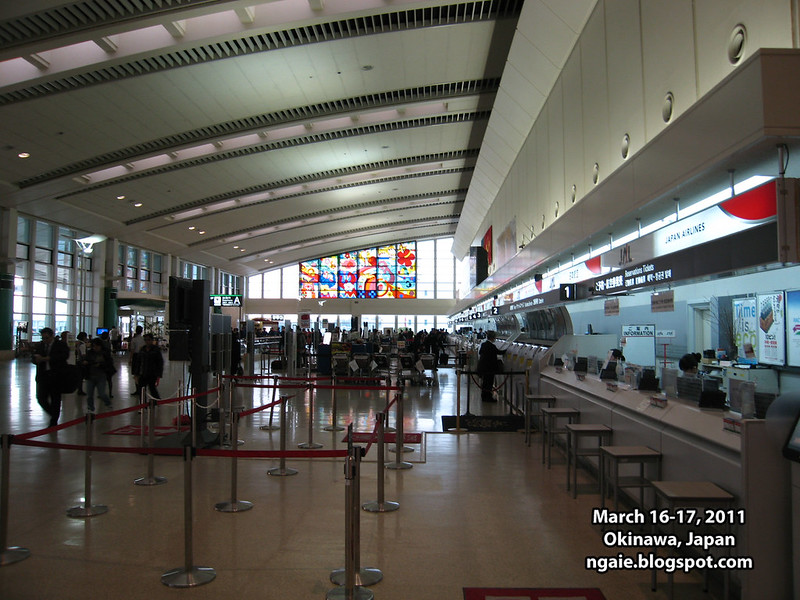
The next day, we departed Okinawa for Fukuoka, Japan on the island of Kyushu.
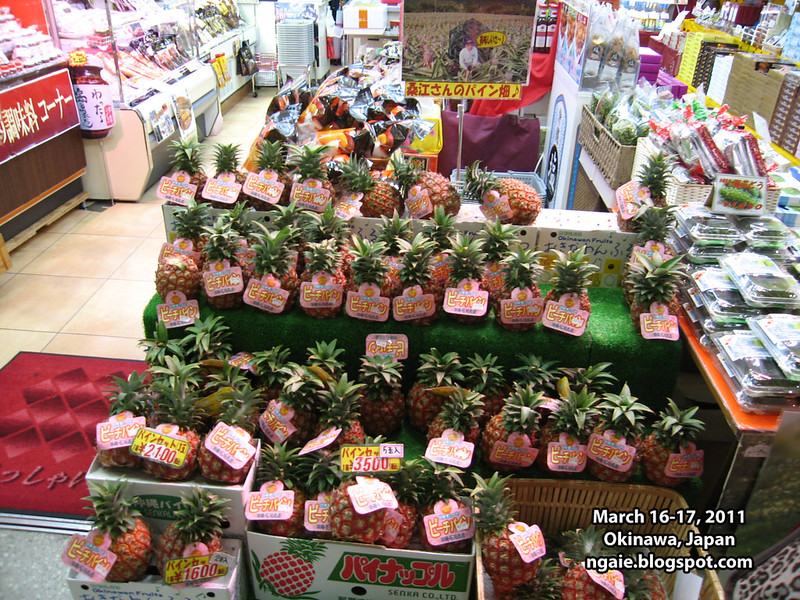
Buying one more omiyage (souvenir) before leaving. An Okinawa grown pineapple. They were not cheap, at around 2000 yen ($20 USD) for one, but it was sure tasty.
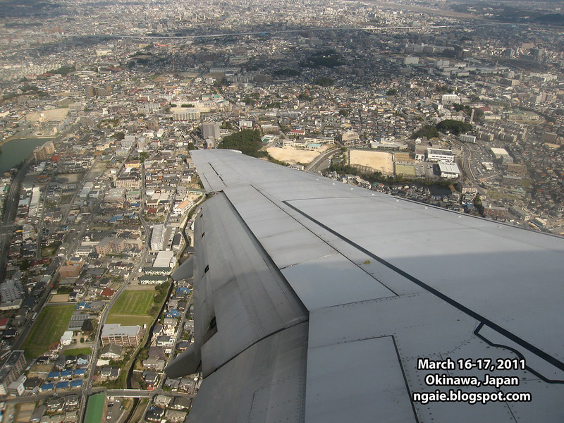
Landing in Fukuoka.
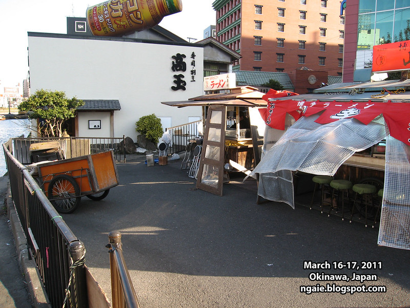
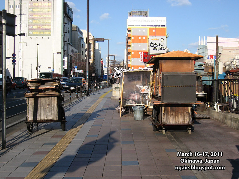
Some of the ramen yatai (basically food carts) that Fukuoka is famous for.
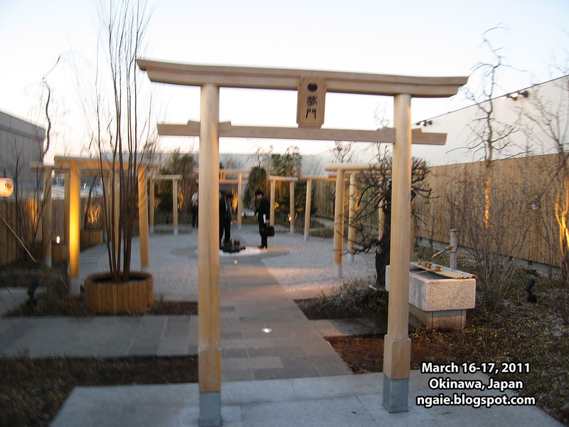
At JR Hakata station in Fukuoka. Whats interesting is that there is a railway shrine on the rooftop.
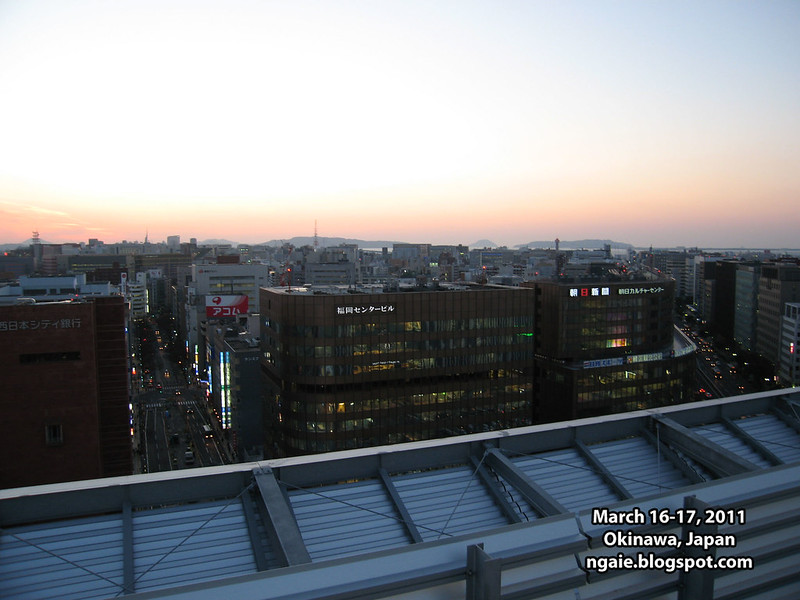
The skyline of Fukuoka from the rooftop of JR Hakata station. You can really notice the difference in "orderliness" between mainland Japan and Okinawa.


0 comments:
Post a Comment